Jump to: January(to Eastham and Dungeon)
Jump to: February(to Runcorn Bridges)
Jump to: September(to Widnes)
Jump to: November(to Eastham)
Thursday 26 January (Liverpool HW 14.25 9.6m - a big spring tide).
High pressure - a cold sunny day - great for Marlin which has an enclosed wheelhouse with a diesel heater. Wind N 3-4 so fairly calm.
Enter river from marina at 12:30 - with one other vessel - a yacht. Head to Wirral shore and then up the Eastham Channel (buoyed) towards the MSC entrance.
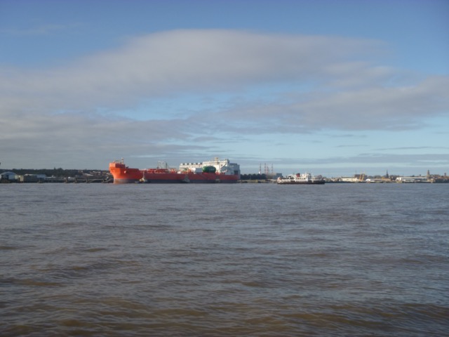
Tanker, with tug, on Tranmere Oil berth.

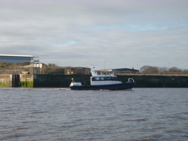
A survey vessel passed me, near Bromborough.
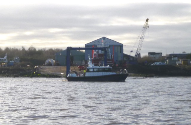
The slip at what was Carmet's yard.

A vessel nearby.
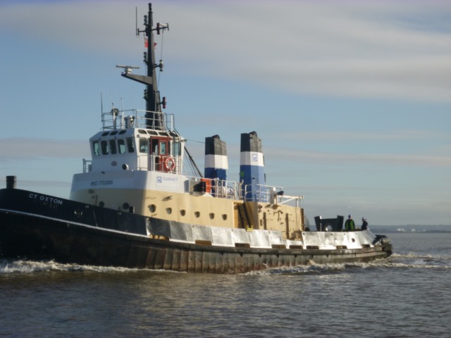
Two Carmet Tugs passed - outbound near MSC entrance - presumably after assisting
a ship inbound to the ship canal (or waiting for such a ship) (CT Oxton, built 1978, and CT
Upton, built 1987)
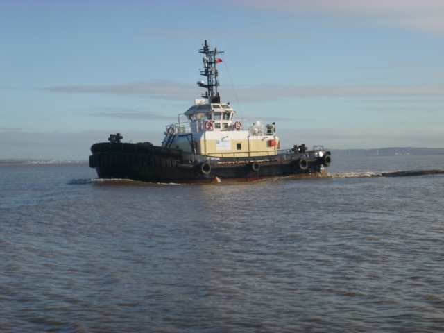
After reaching MSC entrance at 13:00 - head east - with some very shallow
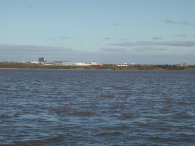
places - and head towards Hale Head. A view of the airport from the south:
Hale Head lighthouse with the bridges just seen beyond.
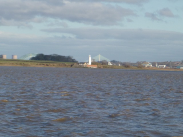
Hale Head Lighthouse (disused), close up:

Arrive at Hale Head at 13:46 with current still up river. Decide to follow the channel close inshore, in the bay called the Dungeon, which is partly a back eddy - so helpful before HW. I found that the current was only outwards (so helpful) in the western part of the bay. There were 8 herons watching me.
Tank taps, abandonded, in the Dungeon.
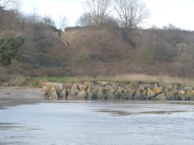
The lattice perch with airport control Tower beyond.
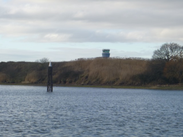
By the time I got to Garston (2:50) the current was ebbing, so
favourable. A small aluminium boat surveying near the entrance to Garston Docks.

Lock in to the marina, only boat, at 3:30.
Approximately 20nm, mostly at low revs - almost tick-over - so little fuel used,
Thursday 23 February (Liverpool HW 13.17 10.1m - a very big spring tide).
High pressure - a cold sunny day - great for Marlin which has an enclosed wheelhouse with a diesel heater. Wind NW 3-4 so fairly calm, except wind over tide at end of trip.
Enter river from marina at 12:06 - only vessel. A bit later than
usual, since I missed the first lock, but a very speedy lock since the
marina water level (8.5m above CD) was close to that outside.
Head up North shore - past Garston, Airport, Hale Head,..
Reach Hale Head by 1:08. Decide to carry on as far as the bridges -
since there would be sufficient time to get back to the marina by last
lock (circa 3:30). Passing Pickering's Pasture on the way up, the river
bank
was still visible, with cormorants and other birds gathered on the edge.
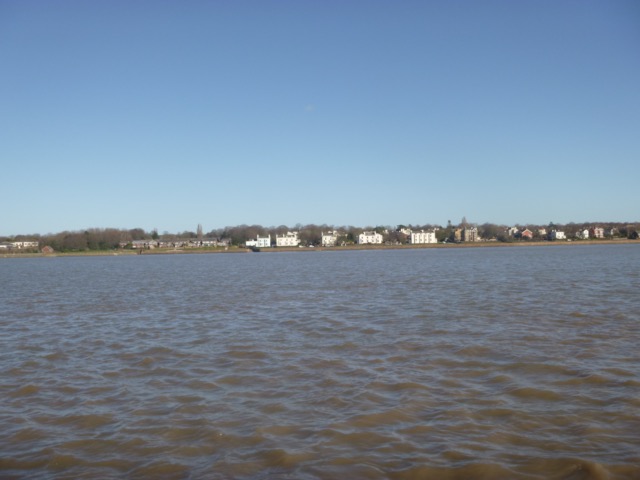
The houses on the front at Grassendale - near Garston.
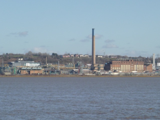
Industrial activity at Runcorn:

Runcorn bridges seen from down river

Crest of Liver Bird on railway bridge column.

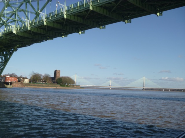
Widnes Church on the headland, with Gateway Bridge beyond, seen from
under the road bridge.
Turn around after passing under the bridges at 1:25. So adverse current for a while - about 2 knots, decreasing by the time I got to Hale Head. Passing Pickering's Pasture on the way out, circa 1:50, close to local HW, the shore-side field was partly under water. This actually makes navigation harder - since straying onto the shallows on the grass might result in being stuck for ages (since it was one of the highest tides of the year).
Pickering's Pasture partly under water.
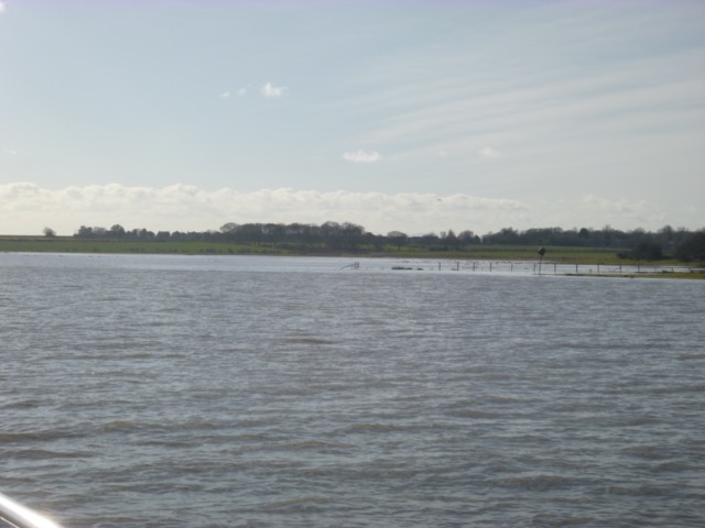
Pass Hale Head at 2:04 and continue along, close to the shore near the airport, to take a look at something white marooned on the shore, that I spotted on the way up.
I got as close as I deemed safe, but could not really identify the
object - it is possibly a small white GRP boat or dinghy. It is close to
the airport revolving radar scanner.
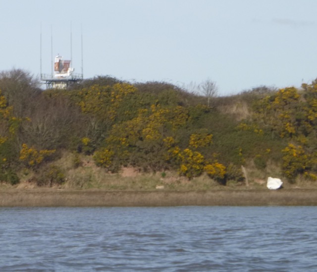
Liverpool airport over-water gantry

Fishguard-Rosslare ferry "Stena Europe", built 1981, in Cammell
Laird's float being repaired - after engine-room fire on Saturday 11 February
while approaching Fishguard [no injuries].

Record of depths (in metres above chart datum) on this trip (here
passing from Dungeon Point on left and Hale head right of centre)
reduced using tide gauge results for Liverpool. I did not try to follow
my waypoints closely, since it was such a big tide (+10m at HW). At no
point was the water under my keel less than a few metres.

Lock in to marina at 3:10, only boat. 22.7 nm run - mostly at 6 knots
through the
water, but an average of 7.5 knots over the ground, because of the current.
Saturday 2 September (Liverpool HW 13.35 9.8m - a big spring tide).
After two months of unsettled weather, high pressure at last. Sunny with some haze, wind S slight, sea calm.
Enter river from marina at 11:35 - with two yachts. One was going
to act as cover for the cross Mersey swim taking place at HW.
Head up North shore - past Garston, Airport, Hale Head,..
Reach Hale Head by 12:45. About 6 ribs passed me, heading down river,
perhaps to act as saftey cover for the swim. Two small speed boats also.
That is the first time that I have seen so many boats on a trip up the Mersey.
Hale Head light-house (disused)

Decide to carry on as far as the bridges - since there would be sufficient time to get back to the marina by last lock (circa 3:50). Head under the north arch of the rail bridge (at 13:10) with current still strongly up river. Decide to shelter from the current off Spike Island - where there is an eddy on a making tide.
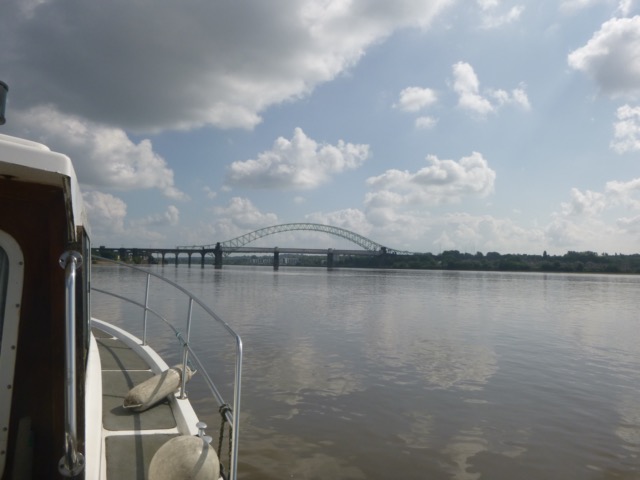
The Road and Rail bridges at Runcorn, seen from down river.
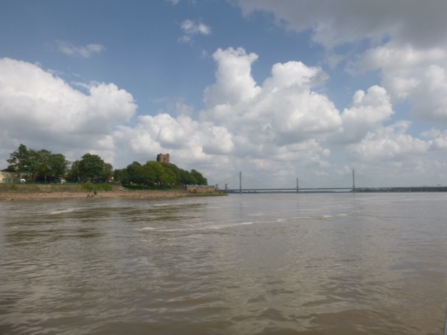
Widnes Church on the headland, with the Gateway Bridge beyond.
Because Fidler's Ferry power station is closed - there is no longer
water pumped into the canal - so South Bank Boat Club at Spike Island
have suffered: with their boats in the canal aground. As a work-around, the
canal was filled with sea water on a big spring tide, and the lock gates
were cemented up to make them more water-proof. SBBC are pumping
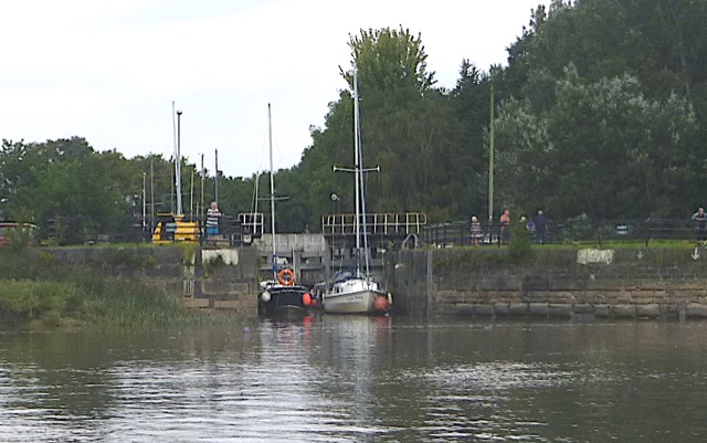
sea-water into the canal to keep the level up. About 4 vessels have
been moored in the, drying, entrance to the lock.
Two yachts were clearly visible tied up in the lock access area at Spike Island.
Near HW Liverpool, at 13:35, I headed back, with more revs for a while to stem the 3 knot current.
The industrial scene at Runcorn - with the "Dock" church spire visible

By 2:25, off Dungeon Point, the current had turned and was favourable for me.
The houses on the sea front at Cressington (near Garston)

There were several large logs floating - possibly washed down by recent rains. A sharp lookout was need to avoid them.
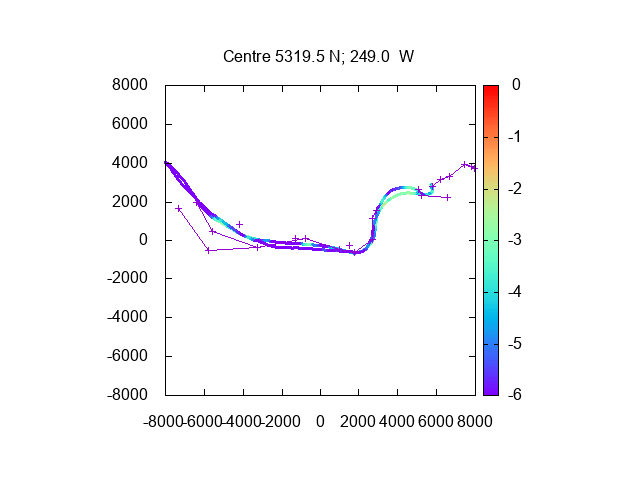
My track up the Mersey with depth (here as metres under my keel). I
did not try to stick carefully to the deepest channel - but still had 3m
plus. Distance scale in metres. Waypoints shown also.
Lock in to marina at 3:10, only boat, and quickly into marina
itself, since water level was similar to that in the river.
24.5 nm run - mostly at 6-7 knots through the water.
Wednesday 29 November (Liverpool HW 11.59 9.3m)
High pressure, sunny, calm but chilly: 1-3°.
Enter river from marina at 11:15 - with a police vessel [14m launch
Police Cormorant, until 2017 Liverpool University research vessel
Marisa, built 2009 of Aluminium].
Head across Mersey and up Eastham Channel.
Tanker NCC Qamar on Tranmere Oil Stage.
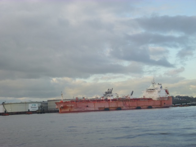
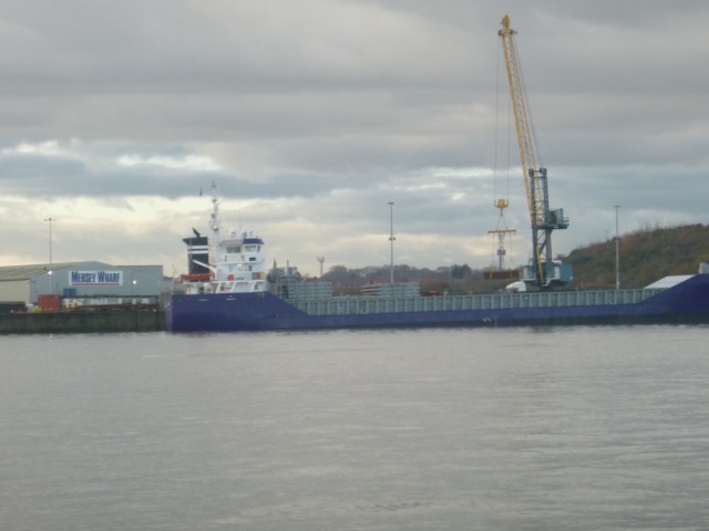
Pass Bromborough alongside wharf: coaster Cederborg
MST shipyard (ex - Carmet; ex - McTay) seemed quiet

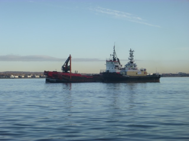
Offshore, near the edge of the buoyed Eastham Channel, a group of
vessels were engaged in dredging: Grab hopper Admiral Day; dumb barge
MSC No 48; Tug CT Moreton. There was also a smaller vessel buzzing
around - possibly surveying the channel edge.
I turned around about 11.45 and ran the engine at higher revs - to clear out any deposits.
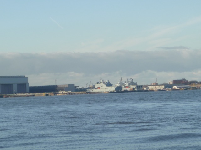
View of RFA vessels being refurbished at Cammel Laird's
Lock back in to the marina at HW, 12:00 - only vessel - and, unusually, drop down in the lock to reach the marina level which is below spring HW.
If higher resolution versions of the above images are wanted, please contact me. All information given in good faith, but please do not rely on it.
Back to index here