Jump to Wexford, Kilmore Quay, Waterford, New Ross, Dunmore East, Polduff Pier, Courtown.
I mainly use tides favourably (this helps a lot) and motor at my displacement speed (5 to 7 knots). I have an auto-pilot but use a kitchen timer set on 10 minutes (or less) to help me keep a regular look out. I always stop overnight -- since I am single-handed.
Friday 3 June . Weather forecast was for light winds for a few days, so I activated my plan to visit SE Ireland. One (personal) reason to visit this area was that my great-great grandfather (John Williams b 1815 Cardigan) was a mariner sailing wooden vessels, latterly from Swansea to SE Irish ports. He was "ticketed" (entered into the official register of seamen) at Waterford in 1844 with experience as mate since 1839 mainly in coastal voyages Swansea/Newport to Waterford/Youghal in 100 ton sailing vessels.
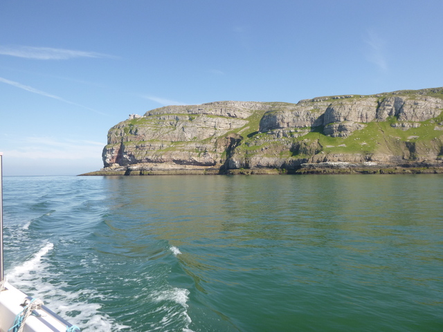
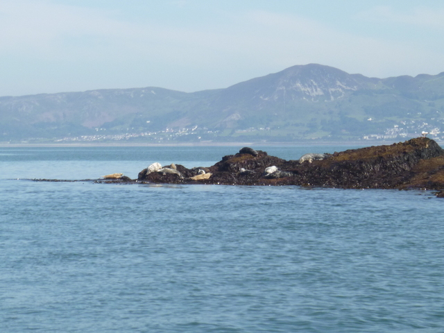
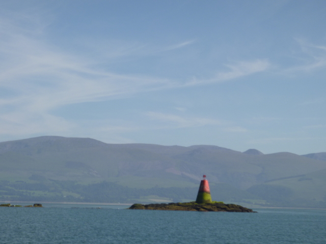
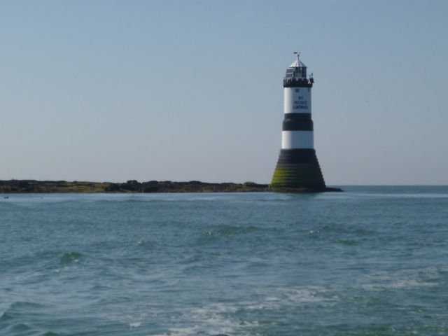
I left Liverpool marina at 11.30 [HW Liv 10.12 9.2m]. The lock-keeper had an unusual challenge: two boats left together -- both called Marlin. We improvised with "little Marlin" (an outboard powered small cabin cruiser) and "big Marlin" (me). I then proceeded through the rock channel, past a wreck-site I surveyed, heading for the southern edge of the Rhyl Flats Wind Farm (reached at 3pm). Sunny with light winds. I then headed past Great Ormes Head and on to the north of Puffin Island to pass (near LW) through the Sound between Puffin Island and Trwyn Du on Anglesey.
Great Ormes Head; Seals on the NE corner of Puffin Island.
 |
 |
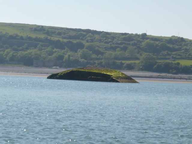
Marks for Trwyn Du (pillar and lighthouse); wreck of Hoveringham.
 |
 |
 |
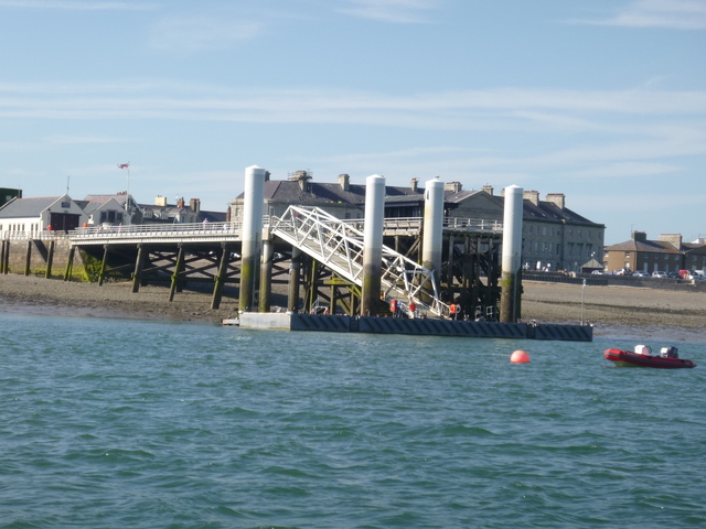
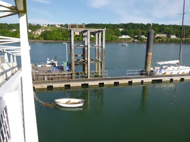
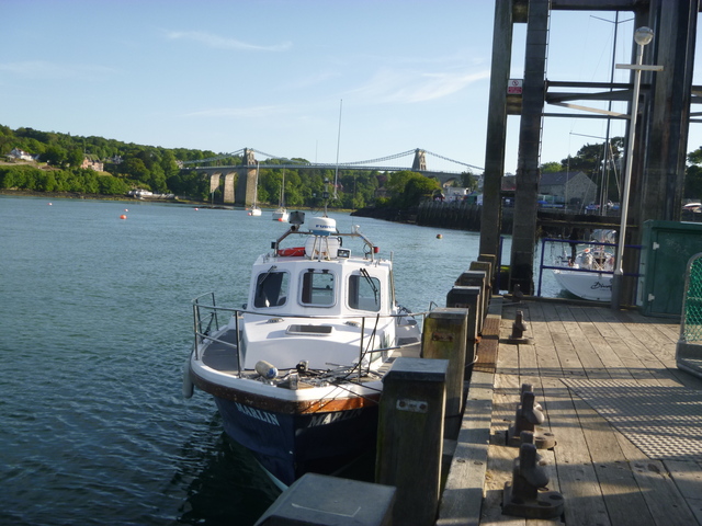
Then up the Menai Straits past Beaumaris to Menai Bridge. Tie alongside St. George's Pier at 6.20. I noticed that the low-level pontoon, that was previously used by yacht tenders, has now been extended and a yacht was tied alongside. [47.3 miles run]. Ashore to Dylan's for a meal and drink.
Beaumaris Pier; St. Georges Pier (2 views)
 |
 |
 |
Set off again at 8.30pm when the tides would be suitable to pass through the Swellies. Reach Caernarfon by 9.30 and pass the Belan Narrows at 9.50. I followed the buoyed channel through Caernarfon Bar (some changes since 2015) and headed to Llanddwyn Island to anchor off Pilot's Cove at 10.20. Two yachts joined the anchorage later and one catamaran was already there when I arrived. Calm night. [13.9 miles run]
Saturday 4 June . [Liv HW 11.04 9.5m; 23.31 9.5m]. Set off at 5.12 with enough light to see fishing floats (there are plenty close to the N Wales coast). Head for N Blackwater buoy, intending to pass inside the Blackwater Bank, down the Rusk Channel to Wexford. On a long passage such as this, the current will be adverse for several hours, hopefully compensated by the favourable periods before and afterwards. Weather calm, visibility 15 miles plus: I could see Bardsey and Holyhead Mountain at the same time. The Irish coast was visible (mountain top) at 2.30pm and I arrived at N Blackwater buoy at 3.44pm. There were again fishing floats to avoid.
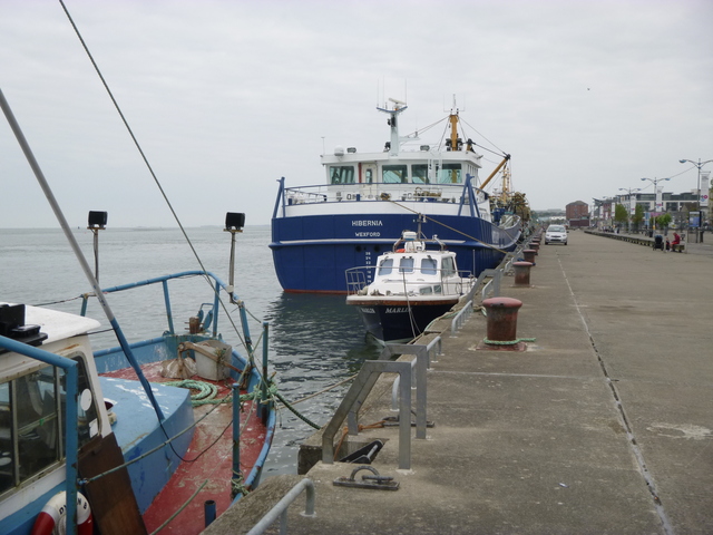
I arrived at the Wexford Bar buoy at 5.50. The Hydrographic Office chart of the channel into Wexford is totally wrong. See my Rant: Not for Navigation. I had downloaded the latest (web) info from Wexford Harbour which gave a useful indication of the layout of the buoys and the twists of the channel. It was close to HW [Wexford HW 19.00 2m] and the current was slack. The tidal range at Wexford is very small (1.3m that day). I reached Wexford Town Quay by 6.50. The Quay was fairly full with large Mussel Dredgers and the small boat harbour was said to be quite silted up. I found a spot to squeeze in between some fishing boats and tied up directly to the quay. One of these was the Hibernian (WD227 420gt 45m long, 10m width, 1m draught). [92.7 miles run]
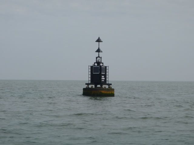
N Blackwater buoy (target for 10 hours)
 |
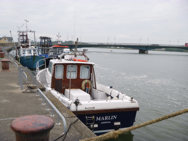
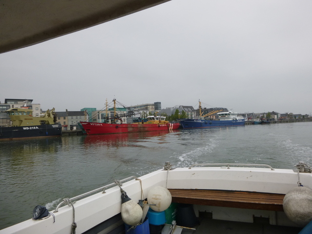
Wexford Quay (three views)
 |
 |
 |
Ashore for a look around and some food and pub. It was Saturday
night and the most promising restaurant had a "fully booked" sign. I
found a chippie and had battered sole. The quayside at Wexford looks
newly built and is quite smart. Unfortunately there is a railway line
running along between the quay and the town itself. This is the line
from Dublin to Rosslare (ferry port) which I had taken as a schoolboy in
1959 when travelling by train and ferry with the Welsh Junior Chess Team
to play Ireland and England at Dublin.
Calm overnight although the generator aboard Hibernian was running
all night.
Sunday 5 June . I set off at 7.55 (near local HW) and had a least depth of 1.6m under my keel in the channel out. There were a few seals watching me as I passed them. I headed SE to Carnsore Point. As I was going to cross the shipping channel into Rosslare, I called them on VHF and they told me of the ferry movements upcoming. Sea was very calm and visibility was about 2 miles. Fishing floats were everywhere in the inshore passage I took. After passing Carnsore Point (10.10), I headed north of Black Rock towards Kilmore Quay. This area has a lots of rocks, reefs and two substantial Islands (the Saltees). It has a lot of wildlife. As well as the ubiquitous guillemots, seagulls, etc, there were many gannets, some seals and I saw briefly a porpoise.
As it was slack, some of the fishing floats had lengths of buoyant rope on the surface extending a considerable distance. See Rant: Fishing Floats. You know you have caught a line when the boat speed drops. I was caught out twice but managed to unhook the line from my skeg without damage to me or it. I entered Kilmore Quay at 11.27. [distance run 24.4 miles]. It was a fine, calm, sunny Sunday so there were a lot of boats about. I waited my turn at the fuel berth - this is a very useful self-service facility (by credit card) which is always open. I found it a bit hard to read the touch screen in strong sunlight, but managed OK.
Ferries at Rosslare; Carnsore Point; Kilmore Quay fuel berth.
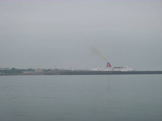 |
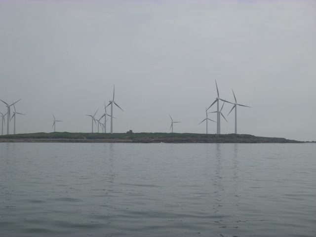 |
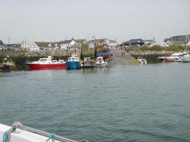 |
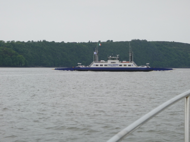
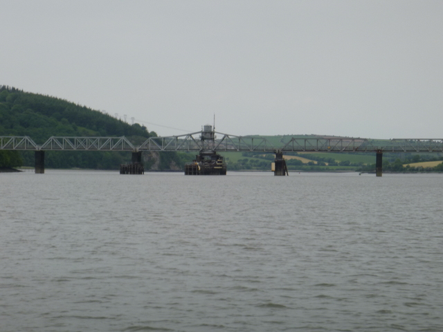
I headed out again at 11.53 towards Hook Head (passed at 1.25pm). This has a lighthouse that is said to be one of the oldest anywhere. I then headed up the Waterford Estuary. This is well buoyed -- big vessels go up to Waterford and to New Ross. Current was inwards, helping me along. I passed Duncannon (drying harbour), the car ferry (Passage East to Ballyhack) at 2.35 and then the channel narrowed to more like a river. At 2.55pm I arrived at the fork where the river Barrow goes off north under the railway bridge, while the river Suir is west leading to Waterford. The Suir is crossed by an opening bridge at Waterford, and that is the usual limit of navigation.
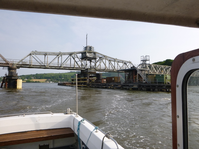
Hook Head lighthouse; car ferry; railway bridge over river Barrow,
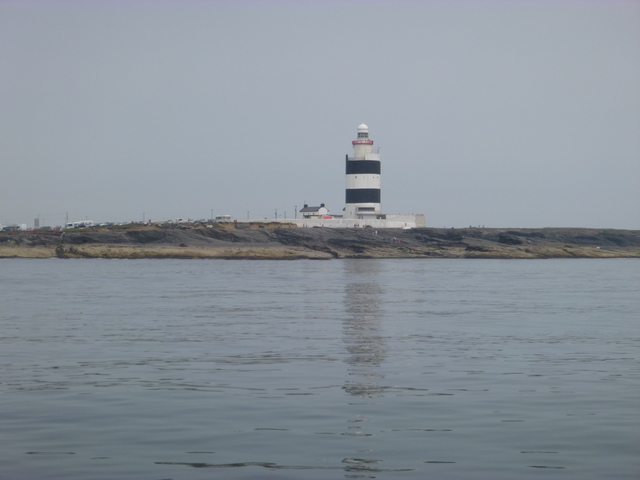 |
 |
 |
 |
 |
 |
 |
 |
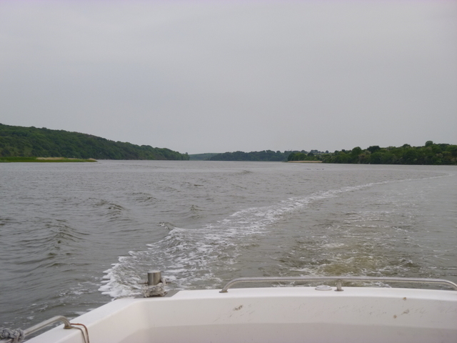 |
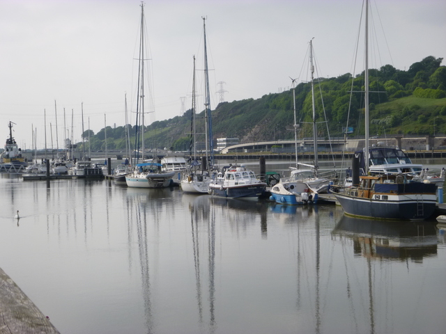
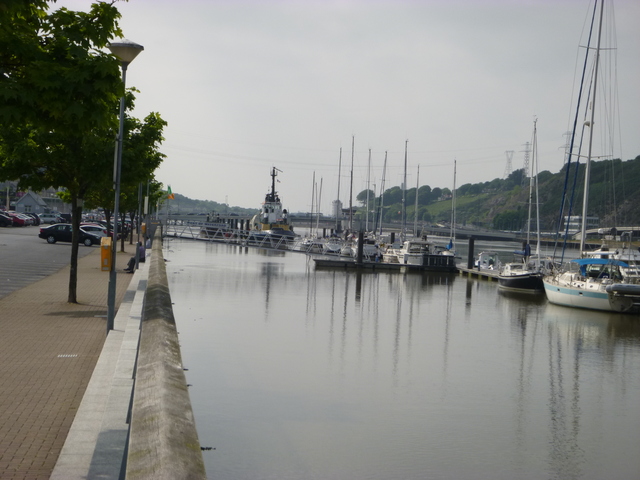
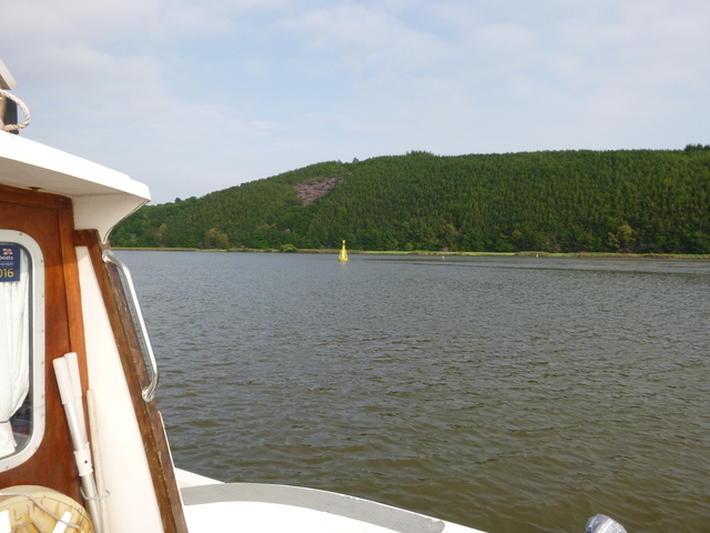
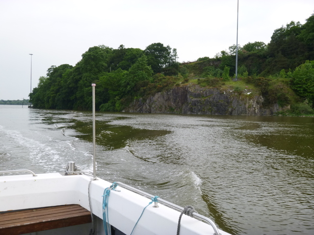
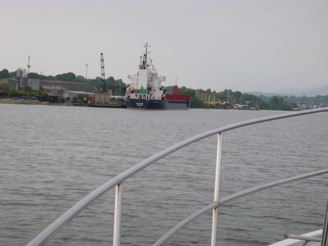
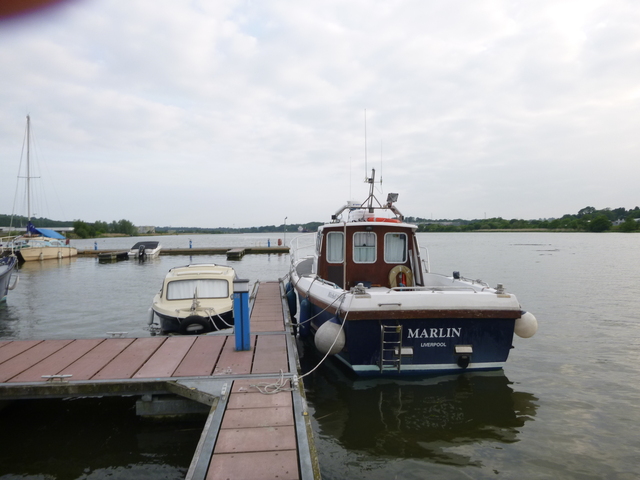
River Barrow: Pink Point, coaster FRI KVAM, Marlin at New Ross marina.
 |
 |
 |
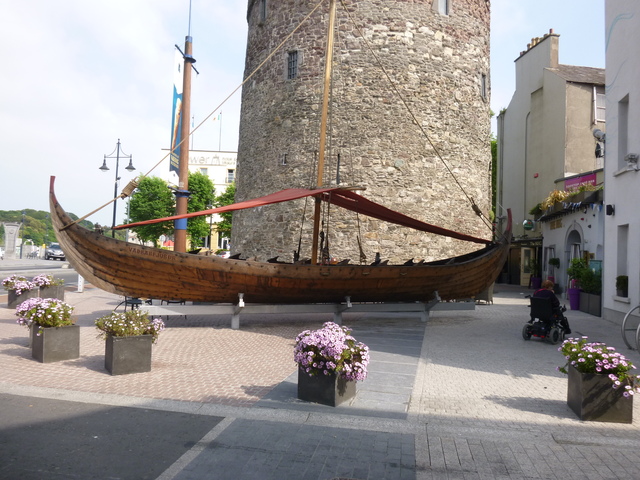
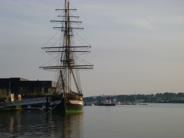
Replica emigrant ship DUNBRODY moored at New Ross with marina beyond; and two more detailed views of the Dunbrody.
 |
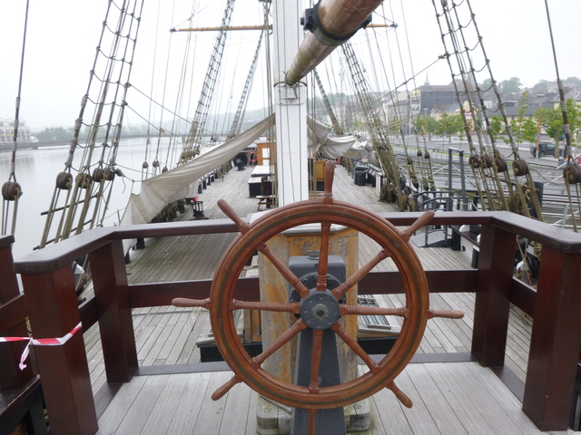 |
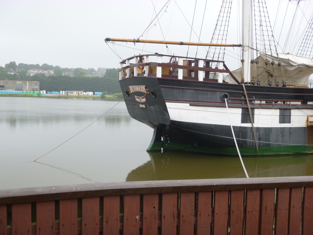 |
Monday 6 June . [New Ross HW 0800]. After visiting the DUNBRODY when it opened (just before 9am -- thanks to the staff for letting me in early); I set off down river at 9.24. By this time the current was running out at 3 knots. I made rapid progress and was under the railway bridge at 10.21. The weather was calm but misty/muggy/foggy. Visibility was more than a mile, but one could not enjoy any sweeping views.
Leaving New Ross: coaster FRI KVAM.
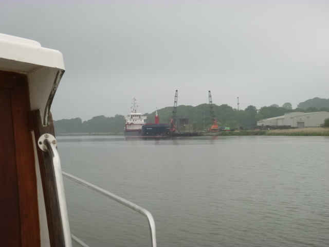 |
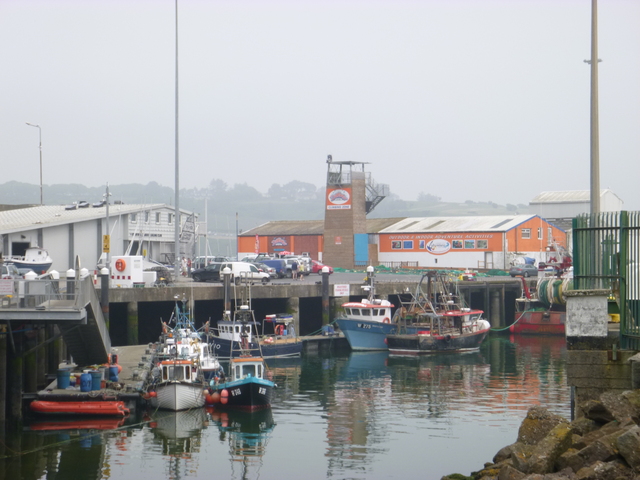
I reached Dunmore East at 11.45. I wanted
to go ashore to eat so crept into the harbour to look around. There was
a free space on a pontoon with a forbidding sign "registered fishing
vessels only". I asked some fishermen working on a boat alongside the
space and they said it would be OK for a short stay and that the harbour
master was, they thought, away. They directed me to a cafe up the hill
above the harbour. I was just in time for the full Irish breakfast
(served until midday). As it was a Bank Holiday, it was crowded, but I
found a space on a table on the pavement. It started to spit with rain --
but then stopped.
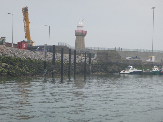
When I was back aboard after eating, the assistant harbour master
came by to remind me not to stay there long since fishing vessels would
be returning. I asked about the news that they were installing pontoons
to facilitate short visits and he showed me the poles already installed
to hold these.
I moved to take up a mooring just outside the harbour (very close
to where I spent the night when
circumnavigating Ireland). The tide would be unfavourable to heading
east for a while (basically it flows round the corner and into the Irish
Sea from LW Liverpool (19.38) to HW Liverpool. However the region from
Dunmore East to Carnsore Point has more complex tides because of the
outflow from the Waterford Estuary and because of eddies caused by the
Saltee Islands. This suggested leaving at around 3pm.
Dunmore East: 2 views and location of yachting pontoons (under construction just inside entrance).
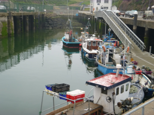 |
 |
 |
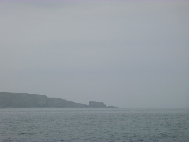
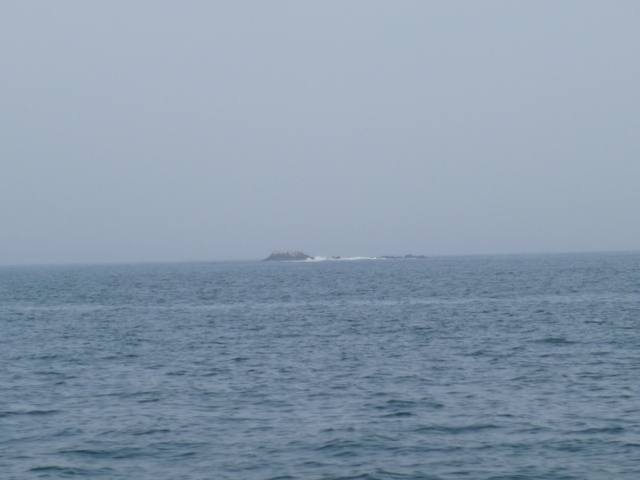
I passed Hook Head with murky weather: visibility 1-2 miles but hard to check that unless there was something solid to help judge. Since the current was adverse (about 1 knot) I decided to hug the coast and head for Baginbun Head. This helped with current but upped the density of fishing floats. I passed St. Patrick's Bridge (S of Kilmore Quay) at 5.21 with favourable current. I then kept inshore, north of Black Rock, and rounded Carnsore Point at 6.20 with over 2 knots of favourable current. I decided to ride this current which was directed outside of the offshore banks (Lucifer, Blackwater, Money Weights,..). [The curious name, Money Weights, was given by sailors years ago not because of any association with richness but because of the moaning type sound it makes in the east wind). Visibility was still poor, but mostly over 1 mile. I met again the North Blackwater buoy at 8pm with 2 knots of favourable current.
Baginbun Head, guillemots with a gannet, Black rock.
 |
 |
 |
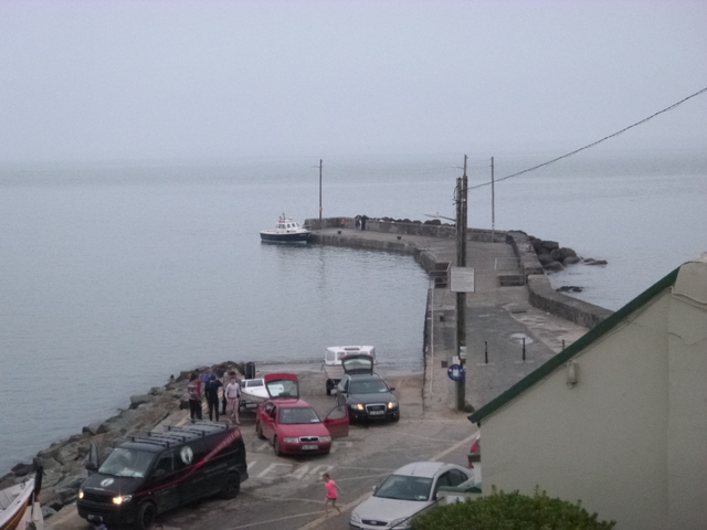 |
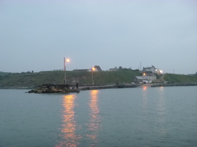 |
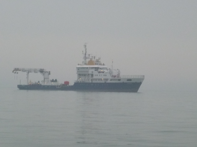 |
Tuesday 7 June . [Liverpool HW 01.06 9.5m; 13.31 9.5]
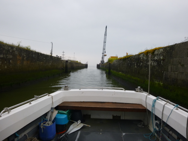 |
 |
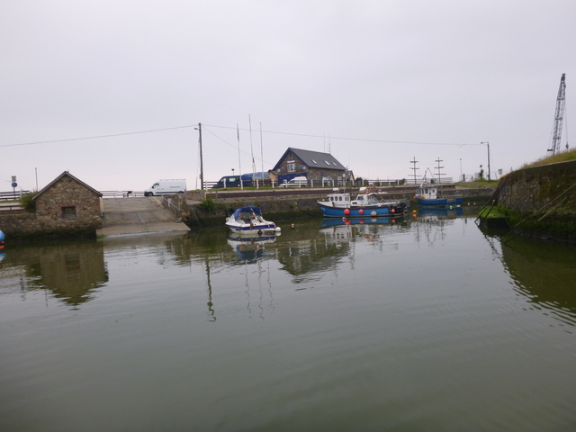 |
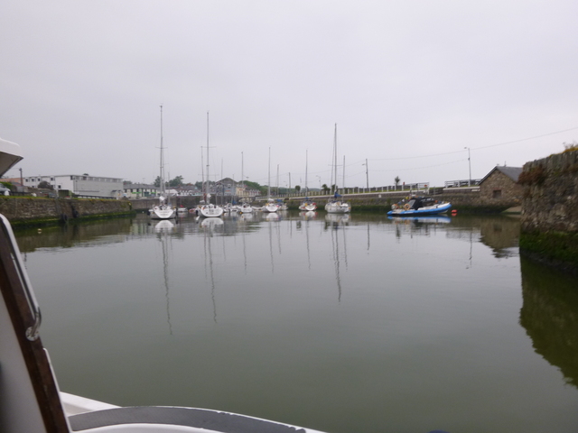
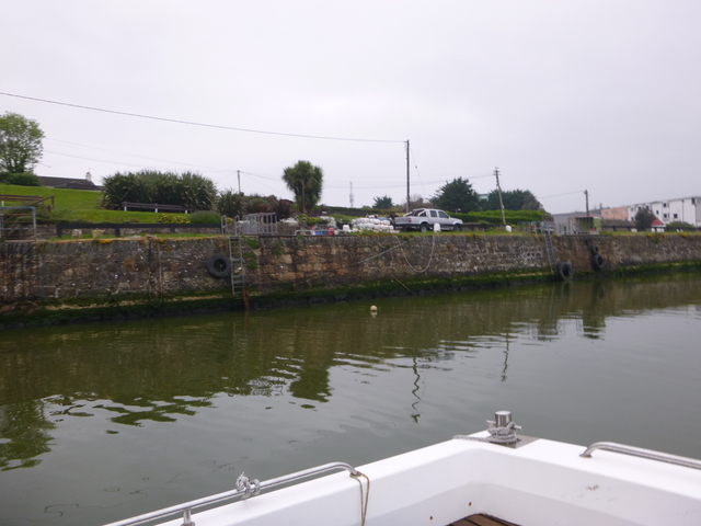
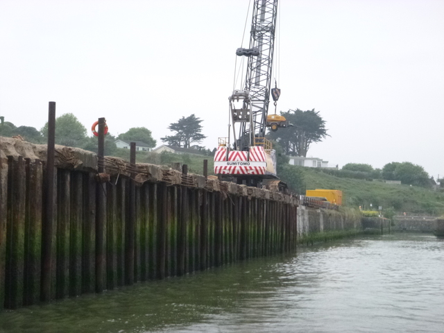
Courtown: inner wall; work strengthening entrance.
 |
 |
I left Courtown at 7.20 and departed from the Irish coast, passing
south of Glassgorman and Arklow Banks. The current was quite strong
(NNE) and I decided to make use of it by heading for South Stack
(055°).
Visibility was variable -- and it was difficult to judge how far
one could see with no horizon clearly defined. I followed shipping on
AIS and one vessel appeared to be heading close to my track. This was
SEA EMS (MV of 1682gt, 82m by 11m) on passage Garston to Limerick. I
called them on VHF and offered to change course. The OOW thanked me but
offered to ensure they kept clear and asked me to continue with my
course and speed unchanged. They passed me with CPA of 0.8 miles and I
was not able to see the vessel at that time because of fog. I was
amused by their name: sounding like "CM's", which is my initials,.. The
OOW also helped me by reporting that there were no other vessels within
12 miles, as seen by their more powerful radar.
I kept this course of 55° until the Menai entrance bore 90° at
about 12.50 when the current eased off. It was now running south, which
had little effect on my course to the east. I arrived off Caernarfon Bar
at 4.28pm.
With the bigger than average spring tide, I wanted to avoid low
water (locally at 6.30pm) on the Bar, so decided to enter straight away
against the current. There was a bit of swell that gave a lumpy ride
for the first 100 metres or so and then it was calm. I reached Belan
Narrows at 5.06 and crossed north to anchor behind Abermenai point at
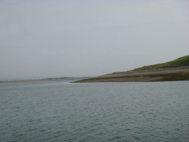
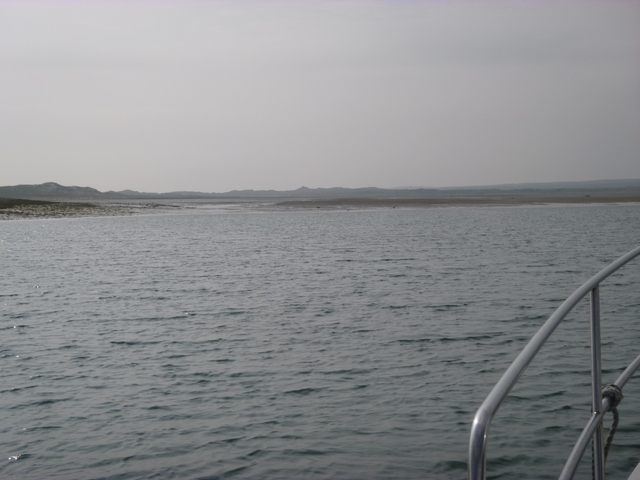
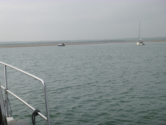
5.13. [distance run 84 miles in 10.5 hours]. There were two other
vessels anchored nearby.
Three views from my anchorage behind Abermenai Point.
 |
 |
 |
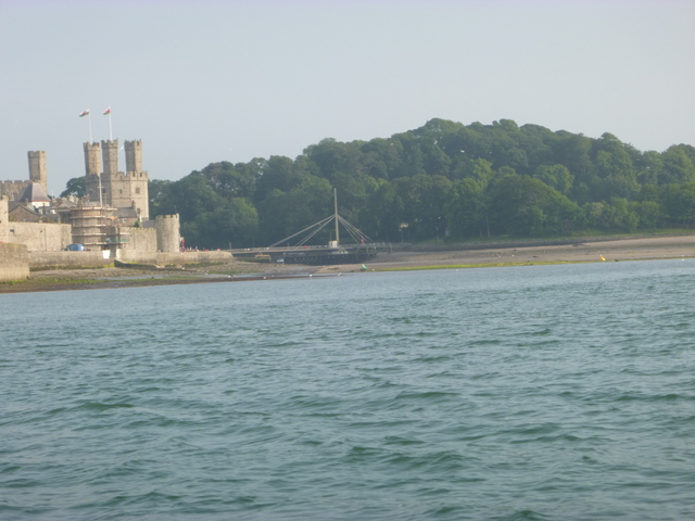
After a siesta, I decided to head on into the Menai Straits with favourable current at 6.30pm. This was close to local LW and I duly touched bottom near buoy C10. This was on sand and I was able to back off and squeeze through closer to the shore. I reached Caernarfon at 6.50 and after a few patches with less than 2m depth, I arrived at Port Dinorwic and moored up at 7.30. [distance run from Abermenai 6.2 miles]
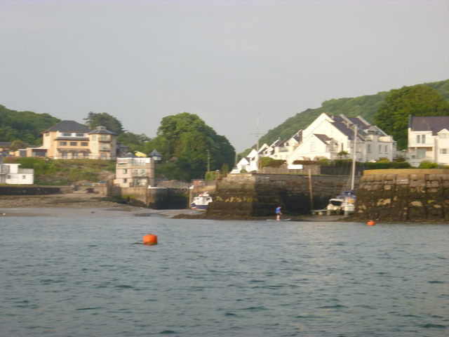
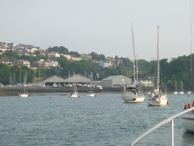
Entrance to old harbour at Caernarfon at LW; 2 views of Port Dinorwic from my mooring.
 |
 |
 |
I now had a dilemma: optimum (slack) current in the Swellies would be at midnight (Liv HW - 2 hours) when it would be dark. I could either go through earlier when the depth would be less or later (4am the next day) when the depth would also be sufficient. I decided to go through with a favourable current at Liv HW-3.5 hours: at 10.20 pm when the depth would be sufficient and there should still be enough light to see.
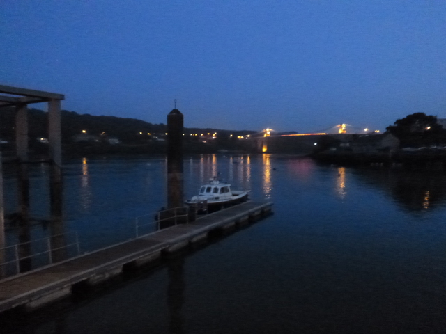
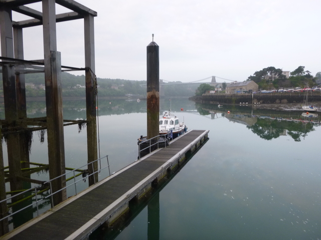
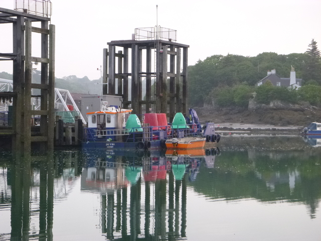
After eating aboard, I set off at 9.45 from my mooring and motored slowly with the current reaching the Railway Bridge by 10.10pm [Liv HW 01:51am 9.5m, so HW-3:40]. It was calm and the current picked up (to 6 knots) quickly. The current swirled around in places but I was able to keep control (doing 7 knots through the water; 13 over the ground). I had 3m minimum under my keel. See more info on Swellies. I approached Menai Bridge St. George's Pier at 10.15. This was a bit surprising: where the main pontoon is located there were green and red buoys close together with flashing top lights. Closer inspection resolved the confusion: a buoy tender with buoys aboard was moored there (and they had not switched off the lights). This turned out to be the Conwy Harbour workboat JAC Y DO (Welsh for Jackdaw) which was being looked after by the harbourmaster Matt. The lower level pontoon was free and I tied up there at 10.25. This was early enough that the Liverpool Arms was still serving. [distance run from Port Dinorwic 3.6 miles]
Menai Bridge (St. George's Pier): alongside in the evening; pontoon in morning; buoy tender.
 |
 |
 |
Wednesday 8 June .
[Liv HW 14.18 9.2m]
I set off at 6.10 in mirror calm conditions. The current at St.
Georges Pier always seems to be directed S irrespective of the
direction in the main channel, but Scott Waterman assured me it
sometimes ran the other way. He was right: around LW it was running
(creeping actually) to the N.
With favourable current in the main channel, I reached Puffin
Island by 7am, taking the route SE of Puffin which I have surveyed: even
so I only had 1m under my keel at one spot. I passed the Great Orme at
7.52 and headed south of the Rhyl Flats windfarm (passing it at 9am).
Visibility was 1-2 miles. In the Mersey, cruise ship NAUTICA was moored
at the Pier Head. Favourable current for the whole morning meant I
arrived off Liverpool marina at 12.03 [6 hours for 48.4 miles run].
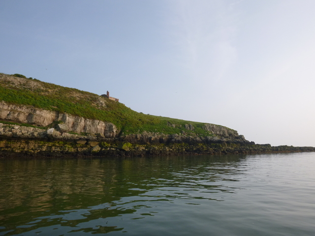
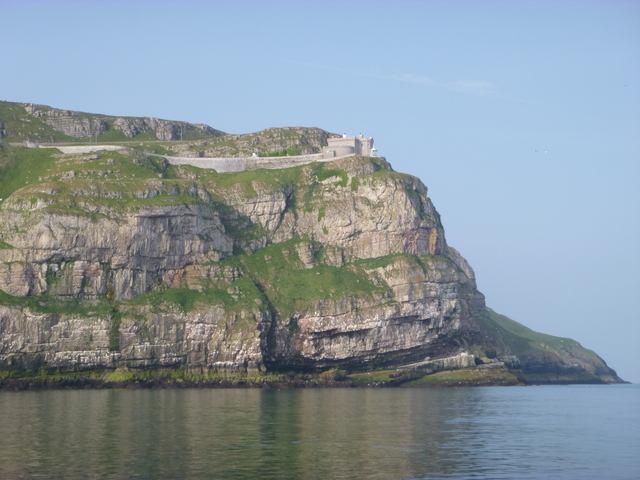
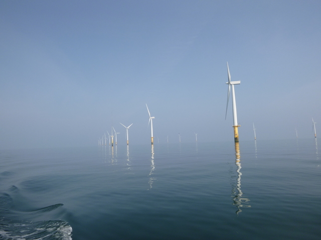
Puffin Island; Great Orme; Rhyl Flats windfarm
 |
 |
 |
Summary. The weather had stayed "slack" the whole trip:
with slight winds (though some sea breezes). The sea state was always
calm. Unfortunately, the visibility was poor at times later on.
Overall 435 nm run and 58 gallons of fuel (33 gallons out to New
Ross; 25 gallons back).
A record of the depth and track of my voyage is available from teamSurv
Clicking on an image should give a higher resolution picture. If even higher resolution versions of the above images are wanted, please contact me. All information given in good faith, but please do not rely on it.
Back to index here