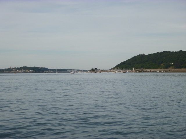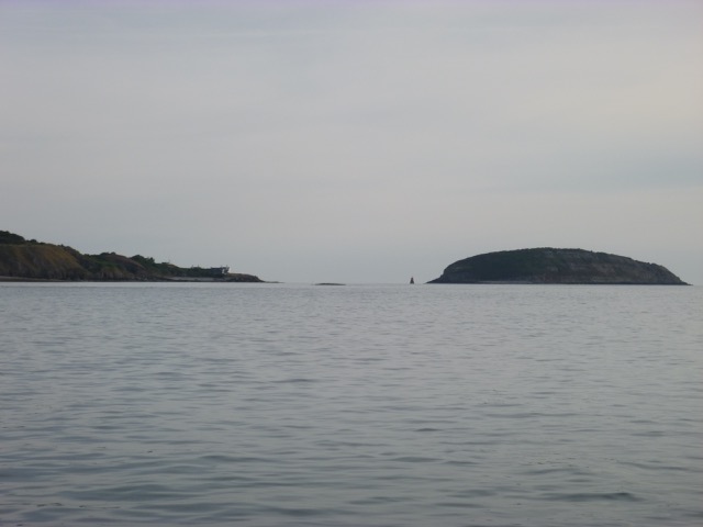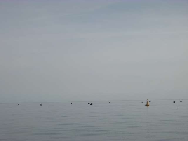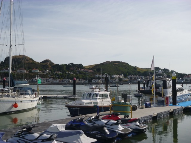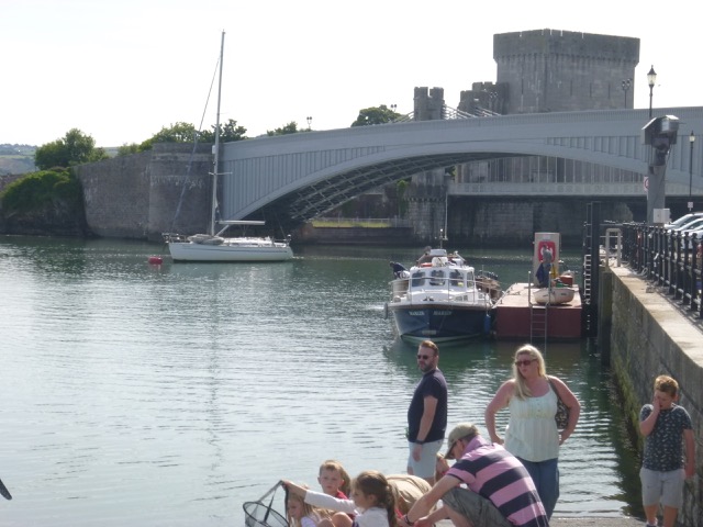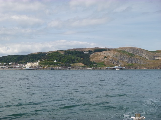
Stop near Great Orme to try for mackerel - no luck. Current was to SE by 3:10. Then head to SE side of Puffin Island to anchor for a siesta. More about Puffin Island. Current actually reduced as I was anchored and was slack about 5:45 (HW Liv - 4:30). This was unexpected but welcome since raising the anchor was easy. There is a lot of boat traffic around Puffin Island: passenger boats, fishing charter boats and ribs mainly from Beaumaris. It was also quite noisy - with bird calls: audio file.
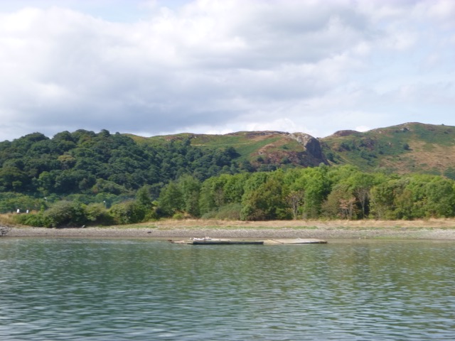
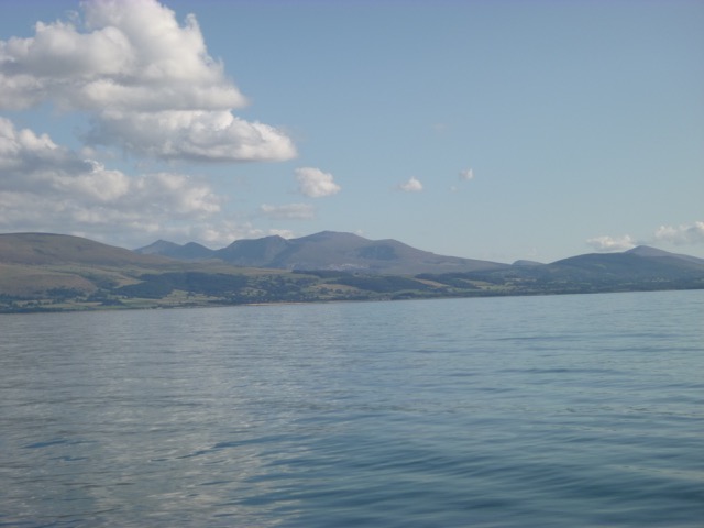
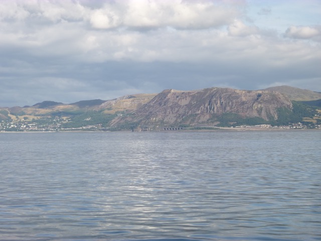
The mountains of North Wales from near Puffin Island; Penmaenmawr.
At 6:15, I motored slowly into the Menai
channel up to Beaumaris. The pier was refurbished in 2012 with a
substantial floating pontoon at its head (reached through a
code-operated gate). I had been told that the pier/pontoon at Beaumaris
is busy 8-7 in summer but not used after that by the commercial boats
and ribs. I tied alongside at 7:05 after avoiding 3 4-person rowing
boats out exercising. The pontoon is administered by the same piermaster
as for St. George's Pier in Menai Bridge.
A fishing charter vessel came in to disembark and the skipper
confirmed that the pier would be free until next morning, as he was the
last boat in.
Following local advice, I headed to the Liverpool Arms for pub-grub.
This has a nautical theme and a brass diving helmet on display.
The pontoon had some local children messing about - but they went
home as soon as it started to get dark.
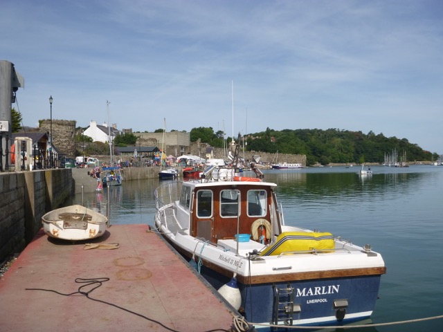
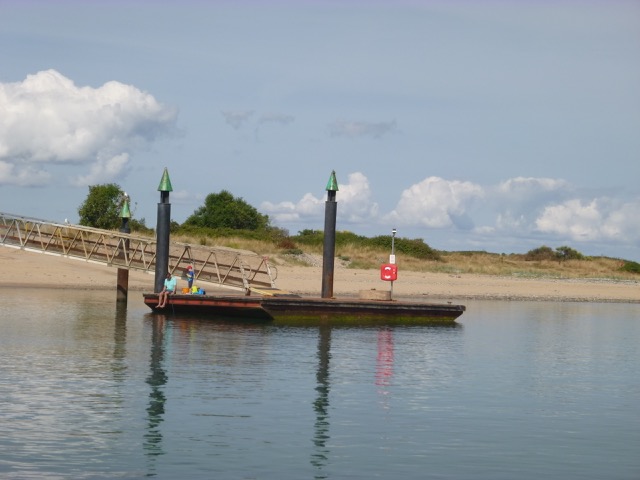
Marlin at Beaumaris with Great Orme in distance:
Wednesday 26 July (Liv HW 10:36 8.1m; 22:54 8.5m). After a
quiet and calm night (apart from wash from a thoughtless speed boat), I
set off at 7:04 with sunny and calm weather. I headed out and again
crossed south of Puffin Island. Since it was a making tide, I explored
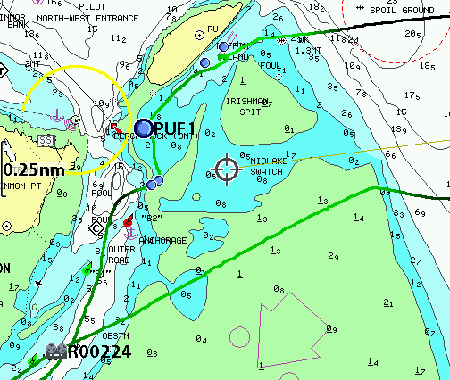
a short cut (charted as Midlake Swatch - with chart based on 1959 survey).
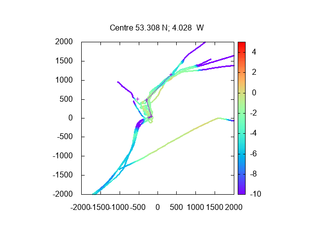
My track across Midlake Swatch (with depths in metres above Chart
Datum) - also showing previous tracks along SE side of Puffin island.
Also my track around the south of Puffin Island on chart (darker is deeper):
Then I headed for Conwy,
intending to explore again the new North Deep Channel that I used in 2015. More
details.
I passed an area of buoys (looking like plastic containers)
surrounded by 4 yellow warning buoys: this is charted as a marine farm.
Beaumaris Castle; and view up Menai Straits.
Trwyn Du, Puffin Island and between them, the wreck of the
Hoveringham; Marine Farm.
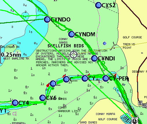
On a making tide near HW, I decided to explore an alternative
entrance channel to Conwy. This channel is potentially a good short cut
coming from Liverpool to Conwy. After entering the New North Deep Channel
(buoy NDO) at 8:36, I followed the small green buoys NDM and NDI to
enter the main channel near the perch.
More details of channel.
I called Conwy marina to request permission to enter to fuel up.
The flap gate was down so it was easy to enter and tie up and fuel was
served promptly. I was looking to get a cooked breakfast, but the
Mulberry only opens at 10am.
Conwy marina fuel berth.
So I left at 9:35 and headed up to Conwy
Pool. The harbour master's office suggested I come alongside the fuel
berth for a short stay (so I could actually have got fuel there - price
was similar).
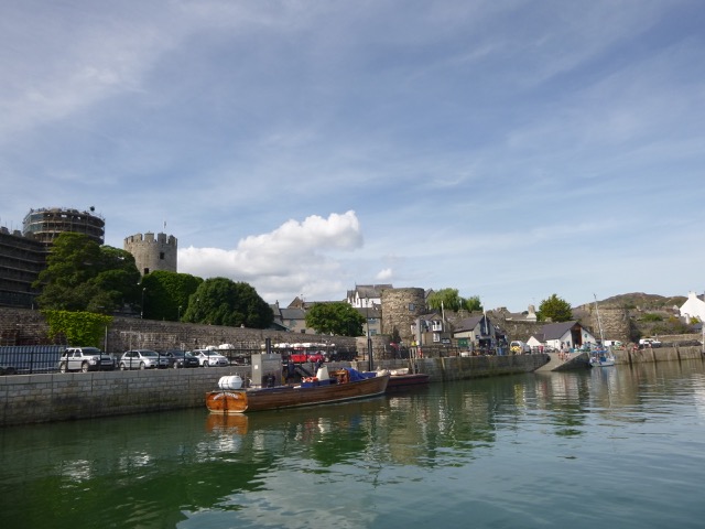
Conwy Harbour fuel berth: views up and down river.
The restaurant I used a few years ago has now become a Costa. I had
a coffee and a bacon bap (not quite a full cooked breakfast). I left
the Conwy alongside berth at 10:25. Fuelling up on the berth was one of
the passenger vessels that take people on cruises up and down the river.
They confirmed that the channel in the river Conwy above the bridge
changes frequently and is unbuoyed (I ventured up in my infaltable
tender many years ago). I took a quick look - passing under the three
bridges (air draught sufficient even at HW for me, reported by
Glazebrook to be 5.5m at HWS or charted as 3.6m at HAT) and then turning
round.
Conwy castle (from above the bridges); fuel berth and quay looking out.
On the way out, I passed a new pontoon being constructed with the
Conwy Harbour work-barge JAC Y DO at work - under Bodlondeb Point and
connected to land. I also passed the wreckage of the in-river pontoon
that used to lie just upriver of the marina entrace.
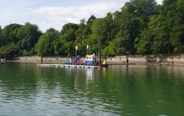
New pontoon (connected to land) being constructed; wreck of old pontoon.
Beacons pontoon (now replaced after storm damage).
I then re-surveyed the New North Deep Channel: depths (in metres
above chart datum and distances in metres with waypoints close to buoys):
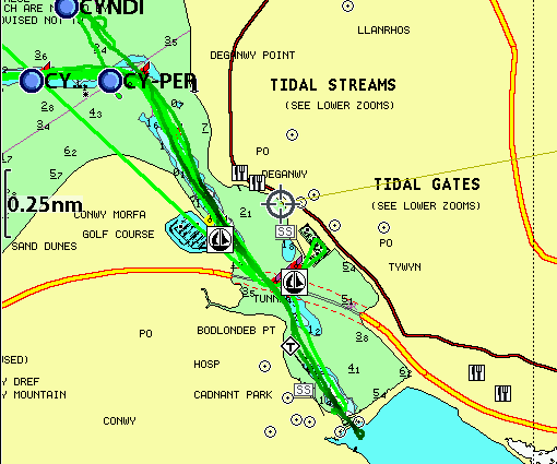
Also my tracks in and out of Conwy on the chart (disregard
straight line passing marina):
In warm sunny weather with a light N or NE
wind, I proceeded around Great Orme's head, across Llandudno Bay and
then into Colwyn Bay. Current was slight but adverse. I decided to
anchor in Colwyn bay at 1:15 in about 4m off Porth Eirias (this is a
watersports centre). Since I had a slow leak in my infatable tender, I
decided to stay aboard. Siesta time. The dilapidated Victoria Pier
nearby has now been demolished and the area is fenced off.
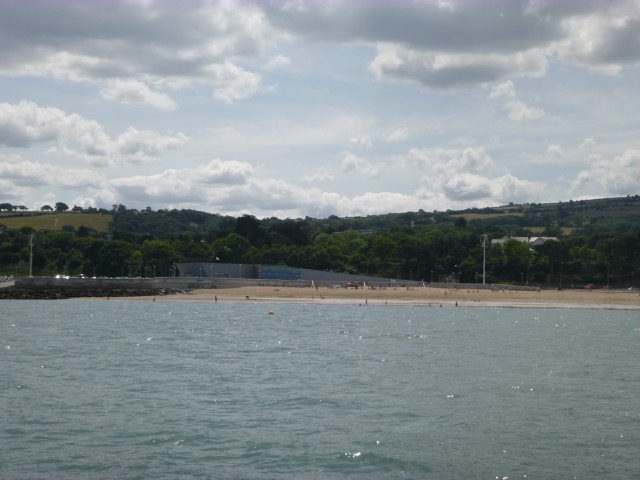
Llandudno Pier; Porth Eirias watersports centre.
At 4:00, I lifted the anchor and continued slowly towards Liverpool
with slack, and then favourable, current.
As I approached the north Wirral coast, I could see two groups of
vessels active - presumably repairing the Western Interconnector which
makes landfall at Leasowe. This work has taken a long time - see here in May.
Near the Wirral coast, I heard the Hoylake RNLI hovercraft calling
the coastguard about an incident off Crosby. I could see the hovercraft
buzzing along the shore line - it was odd to see a "boat" in places
where it was too shallow (or even sand) for a conventional boat.
Vessel STEMHAT 82 (with tug LYDIA D) at work north of Hoyle Spit;
Vessels WAVEWALKER 1 and WIND at work close to Leasowe Lighthouse.
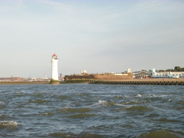
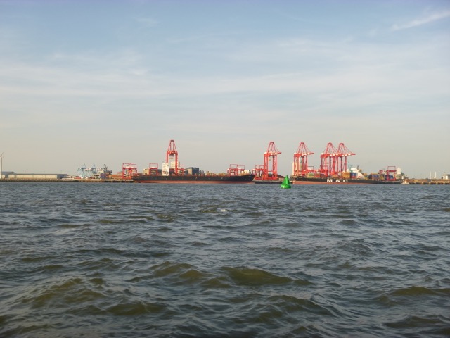
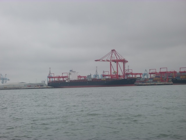
Perch Rock Lighthouse and Fort; CARDIFF and MSC SENA on in-river container
berth with Brazil buoy in foreground.
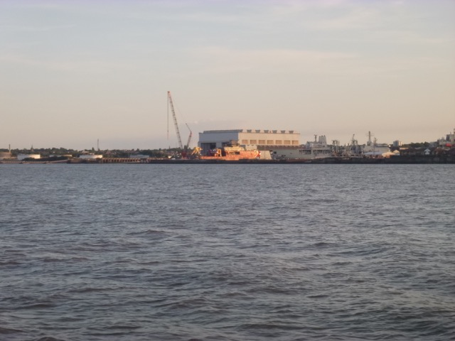
Coaster SMARAGD (reg ALKMAAR); Polar research Vessel (popular
name Boaty-mac-boaty-face) under construction at Cammell Laird.
Lock in to Liverpool Marina at 8:52 with two fishing charter vessels
and a yacht.
46 nm out, 55 nm back: total trip 101 nm.
A record of the depth and track of my voyages are available from
teamSurv
If higher resolution versions of the above images are wanted, please
contact me. All information given in good faith, but please do not
rely on it. Back to index here
I was reminded that Beaumaris would be very busy soon - with the Menai Regattas.

 .
.

