I mainly use tides favourably (this helps a lot) and motor at my displacement speed (5 to 7 knots). I have an auto-pilot but use a kitchen timer set on 10 minutes (or less) to help me keep a regular look out. I always stop overnight -- since I am single-handed.
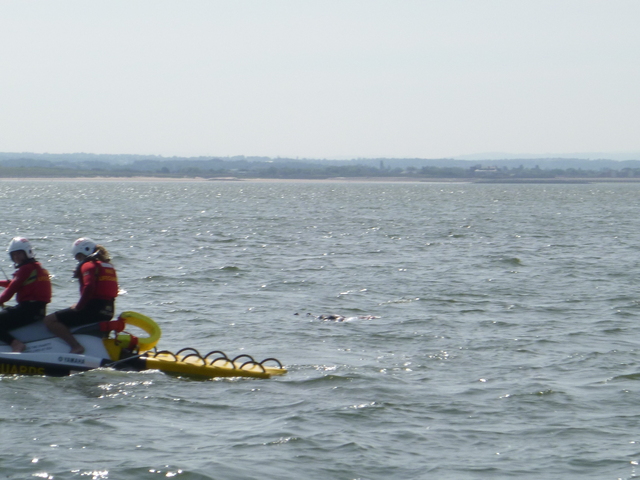
Tuesday 16 August: Leave Liverpool Marina near HW (10.35 8.2m) at 11.55. Sunny and slight wind. Leave via Rock Channel. As I approached New Brighton at 12.10 I heard a small vessel in the Rock Channel reporting to Holyhead Coastguard the finding of an object (possibly a body) floating. The small vessel was unable to give an accurate position and was asked to remain nearby to the floating object. I arrived at 12.25. By this time the New Brighton lifeguard jet-ski with two men aboard and towing a raft had arrived. I offered my assistance which was met with "negative": they were waiting for the "authorities" to arrive. Subsequent press reports are that it was a male body that was recovered.
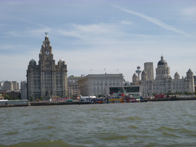
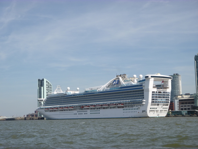
Liverpool waterfront; Cruise liner Carribean Princess. New Brighton Lifeguard Jetski in attendance in the Rock Channel.
 |
 |
 |
I continued then passing south of the wind farms; surveyed a
wreck site; and passed Great Orme at 4.47pm. I was able to test out the
MARPA feature of my radar - on a yacht that I overtook.
Sunny and warm with slight waves. Arrive at S side of Puffin Island at
5.37, close to LW. Proceed via waypoints previously established by me
(quite a dogs-leg: see also; also
the passenger boats taking trippers around Puffin Island were using
this route) to rejoin main channel. Up past Beaumaris to Menai Bridge.
Sea rowing boats were out practising. I approached St. George's Pier
at Menai Bridge at 6.50pm [49.9 nm run].
There were speed boats using the low-level pontoon and the
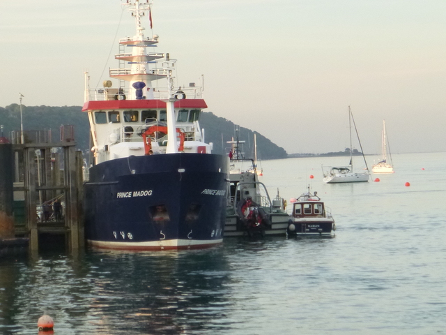
Fisheries Patrol Vessel AEGIS was berthed alongside the Bangor Marine
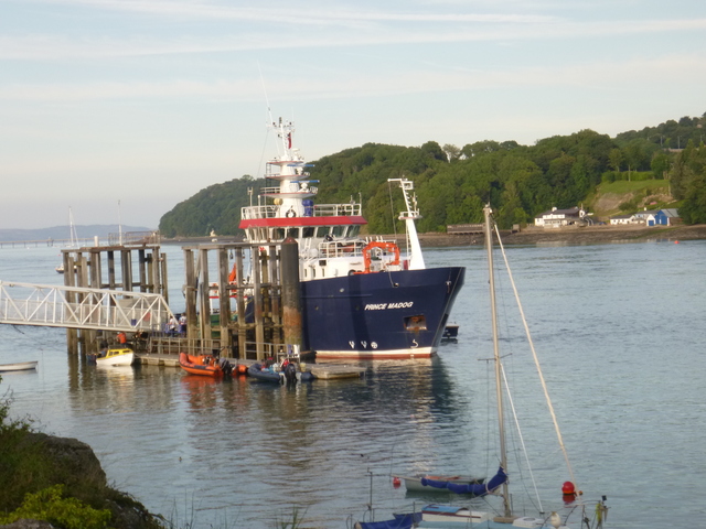
Research Vessel PRINCE MADOG. I circled looking for options and the
crew of AEGIS indicated that I would be welcome to raft up outside them.
They helped me to tie up and showed me the route across their vessel and
then across PRINCE MADOG to get ashore [Thanks]. This was actually
easier than on previous occasions when I have tied to the stern of
PRINCE MADOG - which can be quite a struggle to get aboard.
AEGIS is a Welsh Inshore Fisheries Patrol Vessel - basically a GRP Arun-class Lifeboat of 16m length - built around 1999. She is based in Conwy marina. They have a rib deployed from a ramp in the stern. Overnight their generator kept running with a swishing of cooling water - not too intrusive.
Ashore to get a meal and drink at Dylan's nearby, with a view of my boat from the table.
View from Dylan's of St George's Pier with Marlin's stern; a view of PRINCE MADOG, AEGIS and Marlin; moonlight over the Menai.
 |
 |
 |
Wednesday 17 August [Liv HW 11:16 8.7m; 23:33 9.2m]. I moved to the small pontoon at 7.30am to allow AEGIS to depart. At 8.25 I set off to explore the Swellies nearby. Slack water in the Swellies (sea area between the two bridges) is quoted as Liv HW-2hrs (more precisely as Liverpool (Gladstone) HW - 1:45): so 9.31am. I followed the conventional route through (with adverse current) and then explored some of the alternatives which are feasible near HW. Quite a few boats passed through at this time, and they looked a bit puzzled by my position... By 9.25 it was slack at the Menai Suspension Bridge. For more info about Sellies and about my survey.
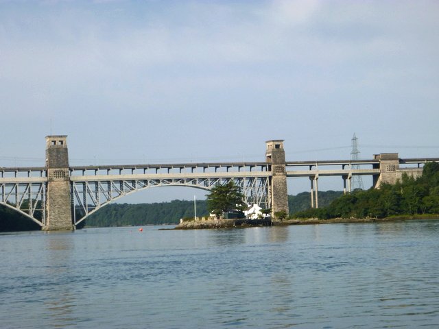
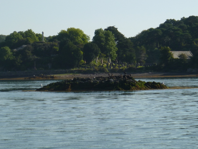
Swellies: cottage on island Gored Goch (Red Weir) with Britannia rail/road bridge beyond; rocky island Ynys Benlas.
 |
 |
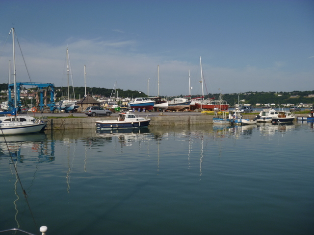
I then motored slowly to enter Port Penrhyn [6.9nm run] . As I approached a huge mussel dredger left - giving me confidence that there would be enough depth for me. I entered the harbour and tied up at 10am. Least depth was about 2m under my keel. Port Penrhyn is the old slate dock and is now controlled by Dickies. They no longer have a chandlery: just boat sales and repairs. As there is no cafe on site; I walked into Bangor around the coast. I had a look at the site where Dickies used to be -- the "harbour" is still there with a few boats tied alongside the wall. It appears to be fenced off and more construction work is ongoing.
I saw that the "Crosville Club" [full name "Crosville Employees Social and Athletic Club" though Crosville stopped being a bus service years ago] is still trading and I popped in for refreshment: coffee and "small Welsh breakfast". It is still excellent value and friendly but rather basic - though it does have free WiFi.
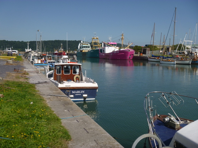
Two views of Marlin at Port Penrhyn
 |
 < < |
I left Port Penrhyn at 11.45 and left the Menai Straits via Beaumaris. There were several high-speed RIBs taking paying passengers for thrill rides. As I chugged slowly out with the current I heard a sudden screeching noise - and was alarmed that some engine belt might be shredding. Almost immediately the cause was apparent: a high-speed RIB full of screaming ladies shot past me.
Within the Straits it was sunny and fairly calm; but as I ventured
out the waves from the east were bigger and some broke right over my
bow. I expected the wind to be SE; but with sea breezes and the
influence of the nearby mountains; it was more E. Current was also
adverse (though not wind over tide). So I just chugged slowly along;
passing Great Orme's Head at 1:50pm. I ventured into Llandudno Bay to
get a bit of shelter; then headed out passing the S side of Rhyl Flats
and North Hoyle windfarms. As I approached the Wirral, the sea state
got calmer and I could try a bit of mackerrel fishing (no luck) and fix
something to eat more easily.
Since the tide was still fairly low; I took a route past HE1; Meols
(pipeline buoy) and my waypoints Rock; Corner and Chip. Coming through
the Rock Channel (from 7:10pm to 7:35pm: so approximately HW- 4:10) I
had a least depth of 2m under my keel (crossing the North Bank and again
east of Chip). The direct route from Chip to the Groyne appears not to
be optimum: making a dogs-leg further south would give more water. At
this time, the North Bank closer inshore was dry as was part of Burbo
Bank. More Rock Channel info.
I was in the Mersey by 7.45 with at least 90 minutes to wait before
the marina lock would be open. I drifted with the current- there is an
eddy inshore of Tower/Egg buoys - then past the in-river stages at
Seacombe and Birkenhead to cross to lie off the marina entrance. The
lock opened at 9.25 and I went in, together with a small vessel SEA DOG.
Port Penrhyn to Liverpool 49.9m. Whole trip 20 hrs run; 106 nm; 15
gallons.
A record of the depth and track of my voyage is available from
teamSurv
Clicking on an image should give a higher resolution picture. If
even higher resolution versions of the above images are wanted, please
contact me. All information given in good faith, but please do not rely
on it. Back to index here